STEWART ISLAND / RAKIURA ISLAND
Stewart Island is New Zealand’s third largest Island, approximately 75 kms long and 45 kms wide – separated from the South Island by Foveaux Straits.
Latitude 47 degrees south and longitude 168 degrees north cross through the Island.
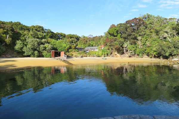
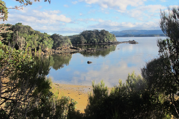
The Island is relatively low lying and undulating with the highest point, Mt Anglem, known as Hananui by Maori, rising to 981 metres. Largely uninhabited and unmodified – it is mainly covered in native forest, with extensive wetlands, sand dunes, exfoliating granite outcrops and a varied coastline from sandy beaches to sheer cliffs. The coastline is fringed with vegetation and bordered by crystal clear waters hosting an abundance of marine life – a real paradise for nature lovers.
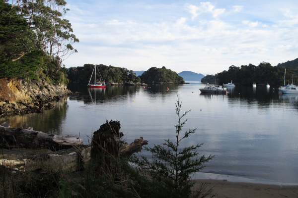
A significant feature of Stewart Island, is Paterson Inlet, approximately 100 square kilometres in size, lying in the middle of Stewart Island. About 20 islands and islets lie in Paterson Inlet, the largest being Ulva Island. A number a major river systems flow into Paterson Inlet, including Freshwater River and Rakeahua River.
Most of the Island (approximately 93%) is actively managed conservation land.
History
Maori presence on Stewart Island dates as far back as the 13th Century, with evidence of midden sites and settlement found around the coastline. Mutton birding, the traditional annual harvesting of sooty shearwater, an exclusive right of Rakiura Maori and their descendants, continues to be practised on designated offshore islands.
Captain Cook first sailed around the shores of Stewart Island in 1770 and since this first sighting a colourful European history has unfolded with the arrival of the early sealers and whalers. The Island has seen a variety of industries including boat building, tin mining, milling, farming and fishing – the latter a surivor to the present day. Tourism, although in existence since the late 1800’s has become a significant industry on the Island.
Naming of Stewart Island
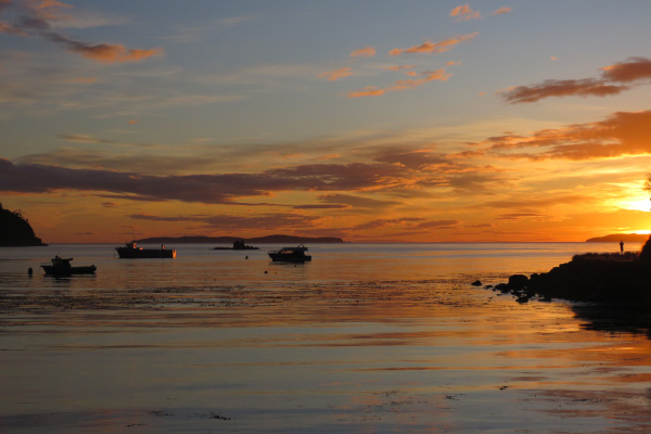
Maori named Stewart Island “Rakiura” – which means “Glowing Sky”, Stewart Island enjoys spectacular sunrises, sunsets and aurora.
William Stewart a cartographer, visiting onboard the Pegasus in 1809 gives his European name to the Island.
Population
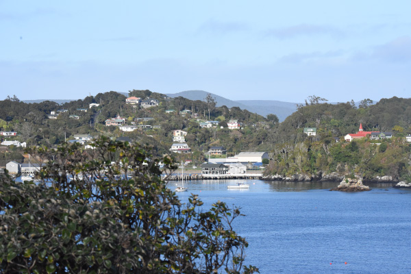
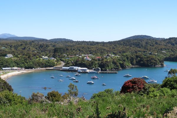
As New Zealand’s southernmost populated area, Stewart Island has about 400 residents, most of whom live in and around Oban Village, Halfmoon Bay, in the north east. There is only approximately 28 kms of roads servicing the populated area.
Walking Tracks
There are 276 kms of Department of Conservation walking tracks in Stewart Island along with Council managed tracks in Oban. There short local day walks, back country tracks and routes for experienced trampers. The three major walking tracks in Stewart Island include: the Rakiura Great Walk (3 days), the Northwest Circuit (10 to 12 days) and the Southern Circuit (6 – 8 days).
Rakiura National Park
Rakiura National Park encompasses a large area of Stewart Island, including some rivers and adjoining Islands, as well as the large majority of Ulva Island.
On 28th February 2002, approximately 83% of Stewart Island became New Zealand’s 14th National Park.
Marine Reserve
In June 2004, a small marine reserve was established in Paterson Inlet and around almost half of Ulva Island’s coastline.
Conservation
A variety of conservation projects are carried out in Stewart Island. These include:
- Possum control
- Removal of pest plant species
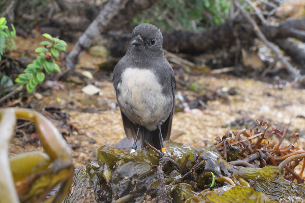
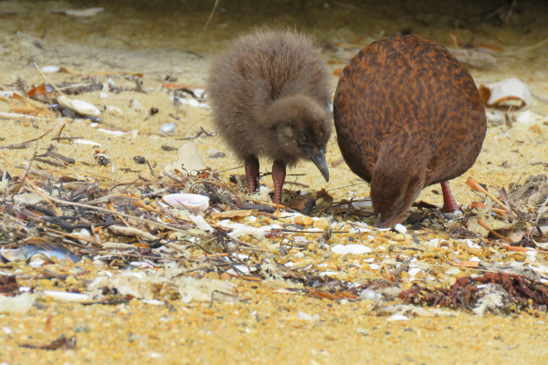
- Bird monitoring including kiwi and southern New Zealand dotterel
- Predator-control on Ulva Island
- Maintaining tracks and facilities